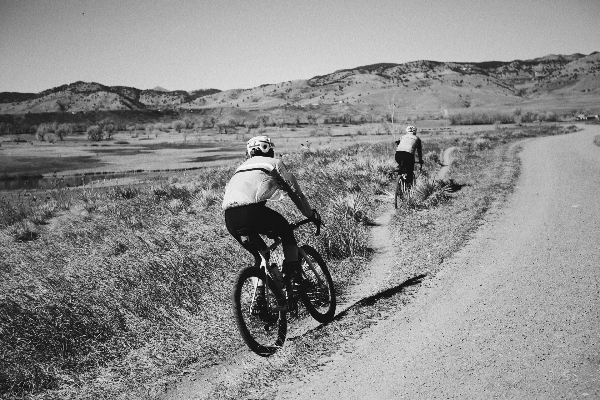
Riding gravel is the perfect marriage between road biking and mountain biking, and is among one of our Boulder realtor team’s favorite activities! Groad biking (nope— not a typo) is a much safer alternative to both road and mountain biking. Enjoy the free feeling of zipping through the scenic wilderness and feeling the sun on your face. It’s an incredible workout too!
Here, the Boulder real estate agents at Burgess Group | Compass list our favorite and fantastic local gravel bike trails.
Gravel Routes Under 2,000 feet of elevation gain
Left Hand in North Boulder
Level: Beginner
Length: 34.1 miles
Elevation gain: 1,581 feet
This route will take you from left Hand Valley Reservoir to Haystack Mountain. On this route, you’ll pass through cottonwood groves and mountain view meadows. Make it a loop using this route.
South Boulder Groad
Level: Beginner
Length: 30.3 miles
Elevation gain: 1,257 feet
This trail is ideal for beginners. It’s a mostly flat ride through Boulder’s iconic prairie meadows.
Wildflowers line the trail and FlatIron views open in front of you. You’ll be riding on a combination of bike paths, skinny singletrack trails, and dirt roads.
Warning— this trail will make you want to belt out The Chick’s song Wide Open Spaces.
BoCo Country Roads Lollipop
Level: Beginner
Length: 30.1 miles
Elevation gain: 1,198 feet
On this route*, you’ll zip through scenic Boulder streets until you reach the Boulder Reservoir. Enjoy biking on compact dirt paths, over creeks, through meadows, and around lakes. On this path, you’ll get the full experience of the Boulder Open Space. On a hot day, take a break with a quick dip in the reservoir.
*If you want to make your ride a little longer, you can add 12 miles to your ride by following this map instead.
Poormans to Wonderland Lake
Level: Beginner
Length: 18.3 miles
Elevation gain: 1,593 feet
Head down Pine Street and Pearl Street to begin your ride (stop for a rejuvenating cup of coffee on Pearl if you need some fuel!). Then launch into the Boulder Creek Path. This path will lead you to one of the most iconic Boulder bike rides. You’ll head through Fourmile Canyon, Seven Hills, and Sunshine Canyon before biking north to Wonderland Lake. Our Boulder realtors who’ve ridden this route report that it hits some of the most breathtaking local views.
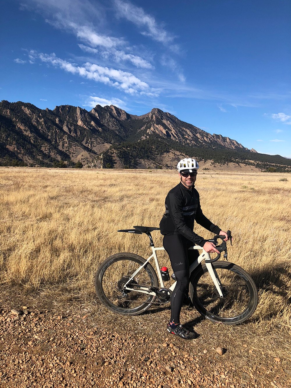
Andy Burgess Rides
Gravel Routes under 4,100 feet of elevation gain
Fourmile Canyon to Boulder Canyon
Level: Advanced
Length: 29.1 miles
Elevation Gain: 3,681 feet
This trailhead is super convenient for anyone who lives near downtown Boulder. For this reason, it’s the perfect after-work adventure. You’ll start in the city, but before too long you’ll be soaring through the mountains. Pay attention to your map on this one. This loop requires linking together 4 different trails (Four Mile Canyon, Switzerland Trail, Sugarloaf, and Boulder Canyon).
Over Joder and Up Rowena
Level: Intermediate
Length: 30.1 miles
Elevation Gain: 2,880
Saying “this trail includes incredible views” feels like an understatement according to our Boulder realtor team! This large loop* incorporates Sunshine Canyon, Lefthand Canyon, and Mount Sanitas. There is some serious elevation change on this route. Revel in the downhills as much as you can! Mix up which direction you take. Try both ways and see which is more challenging for you!
*Use this map if you want to add an extra 13.9 miles to your route.
El Gravelancho Gold Hill Classic
Level: Advanced
Length: 30.4 miles
Elevation gain: 3,607
Begin this route* at the Boulder Canyon Trailhead. The trail will then have you follow scenic Gold Run Creek. Take a deep breath as you listen to the dapple of the rushing creek beside you. If you need a break, pop into the Gold Hill Store and Pub for a scenic snack in the historic mining town. From Gold Hill, you have to push a little farther uphill, then enjoy soaring down Sunshine Canyon. This is a classic Boulder bike ride. It’s something all serious Boulder bikers cross off their bucket list at some point.
*Use this map to add an extra 6 extra gravel miles to your Gold Hill ride!
Gravel Routes Over 4,000 feet of Elevation Gain
The Escape Route to Nederland and Magnolia
Level: Advanced
Length: 47.7 miles
Elevation gain: 6,225
Yes, you can bike to Nederland (and back!). This ride is not for the inexperienced rider. A whopping 6,225 ft of elevation gain (and thinning altitude) is guaranteed to make even the most experienced rider huff and puff. But if you’re up for a challenge, there are no better views. Take a break in Nederland and enjoy one of the many scenic patios in the adorable tiny town.
 Need more advice on where to ride gravel in Boulder? Or how to get started?
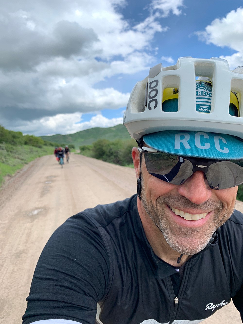
You can often catch our very own Boulder realtor Andy Burgess working, relaxing, and chatting at Rapha (combination bike shop, cafe, and cycling club). Of course, feel free to shoot him an email too! Our Boulder real estate agents love growing the Boulder bike community.
